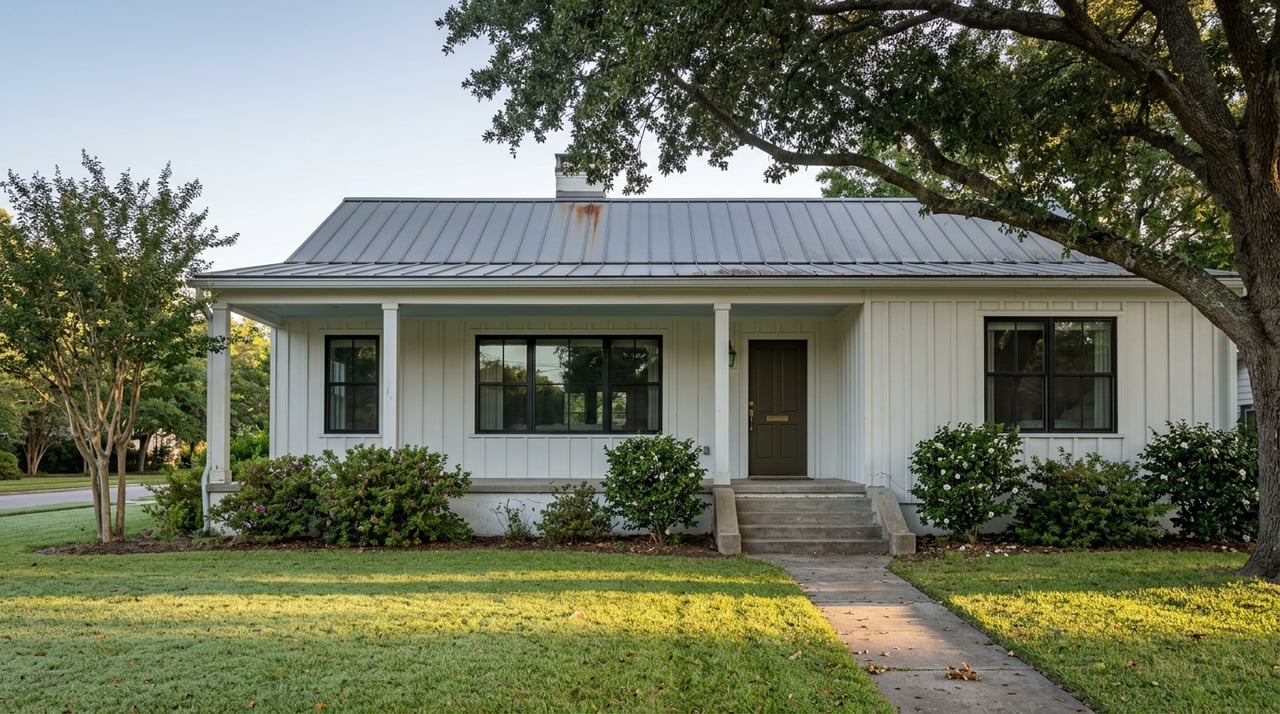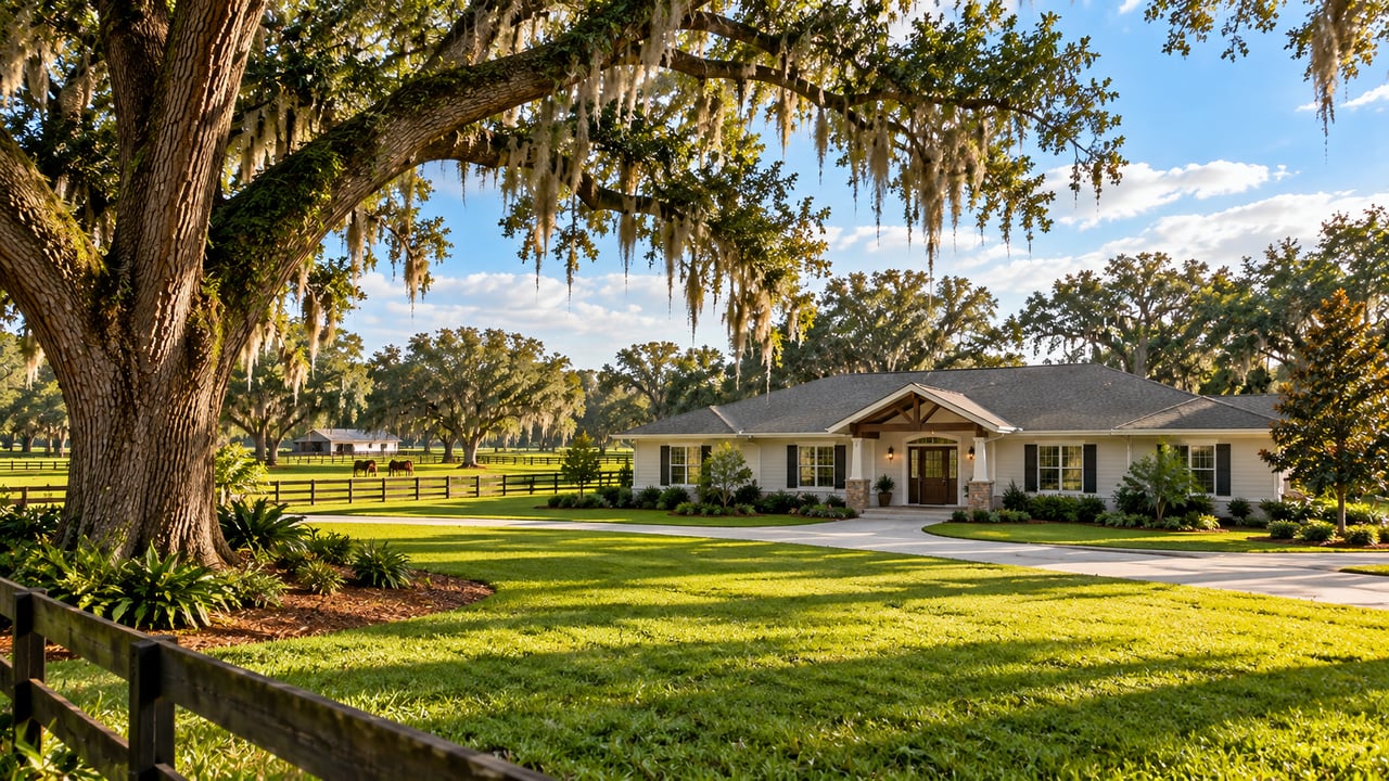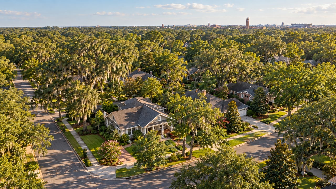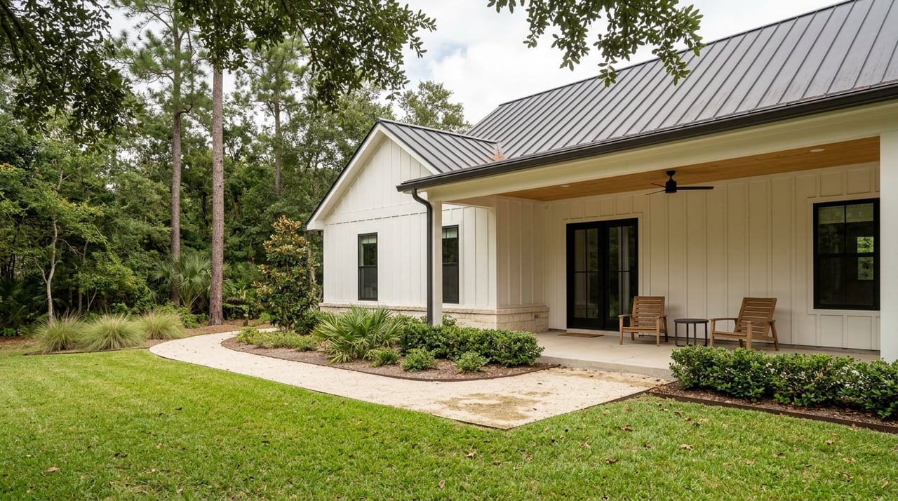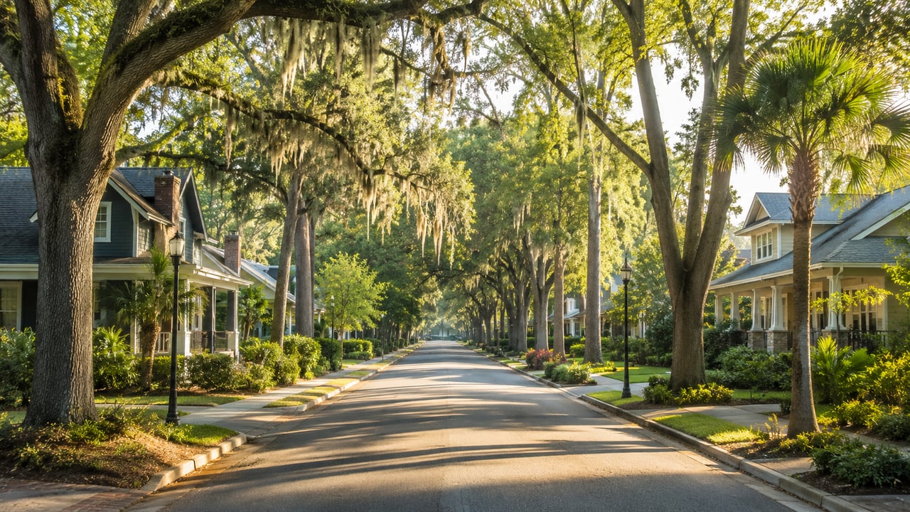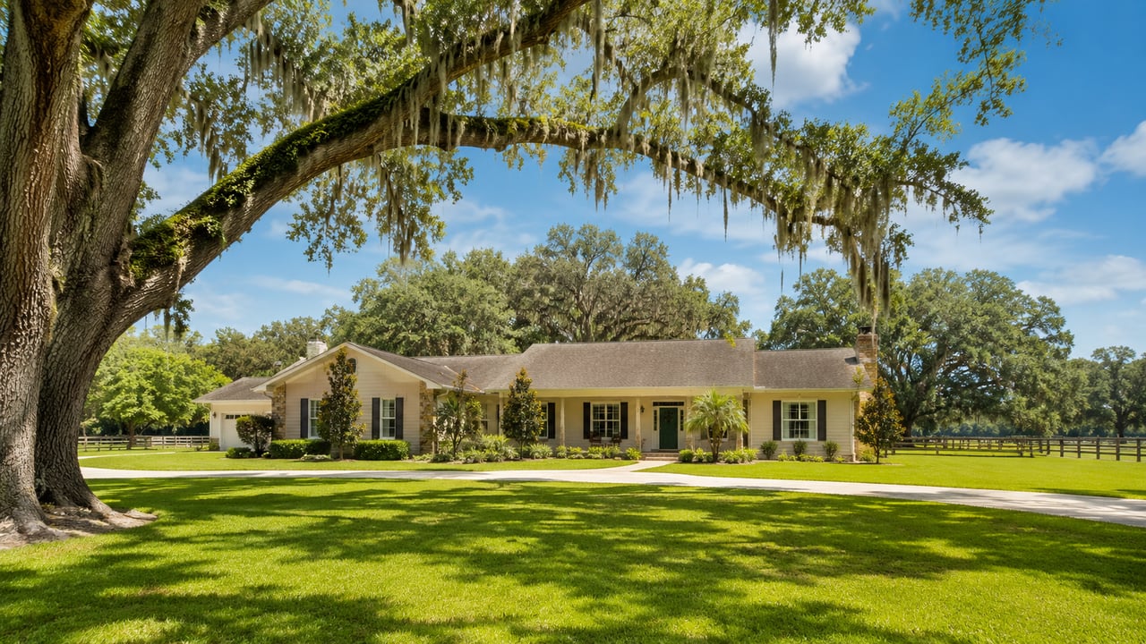
The rain has come back to North Central Florida, but the water underground is still below normal. The Suwannee River Water Management District's October 14 hydrologic report said the district got 5.7 inches of rain in the first 11 days of October. The long-term average for the whole month is about 2.8 inches. In the same report, the district said "drought conditions persist." For anyone who walks Paynes Prairie Preserve State Park from the main gate at 100 Savannah Blvd., that shapes the season. Some of the trails from the Micanopy entrance reach the prairie's wet basin, and others never relied on it.
The Rain Came Back Before the Groundwater Did
September was dry. The district recorded about 3.87 inches of rain, 29 percent below its 1932 to 2025 average. Groundwater still improved by the end of the month, and the wet start to October helped more. The bigger gap is still large. For the 12 months ending September 30, rainfall across the district ran 15.11 inches below normal. That was better than the 16.85-inch shortfall at the end of August. Upper Floridan Aquifer levels ended September around the 24th percentile.
Watering restrictions are still in place. Alachua County said on September 15 that the water management districts' Extreme Water Shortage Orders remain in effect countywide, and that recent rain had not quickly refilled groundwater after months of below-average rainfall. The Suwannee district's Modified Phase II Water Shortage Order runs through the end of the year. Across Florida, the U.S. Drought Monitor map for October 27 showed 23.86 percent of the state in moderate drought or worse.
The forecast is more hopeful. The district's report cites NOAA's three-month outlook, which calls for above-normal temperatures and above-normal rain from October through December.
What a Dry Prairie Looked Like in June
At the start of summer, WUFT News described a different preserve. In its June 1 report on the drought, the station said lower water levels were visible at Paynes Prairie and the wetlands looked drier. It also photographed the Paynes Prairie Nature Trail "unusually empty." Bridget Baker, a wildlife ecology and conservation veterinarian at the University of Florida, told WUFT where the large animals had gone:
"There's also wild horses and bison in Paynes Prairie. So, it's interesting. People are seeing them more along roadsides where there are ditches filled with water."
Baker also told WUFT that visitors had seen horses drinking near alligators, which she called unusual outside severe drought. She said the dry conditions made wildlife sightings less common overall.
The park's own trail guide makes the same point about the most famous walk on the prairie. On the La Chua Trail off Southeast 15th Street in Gainesville, the guide says drought vegetation "may limit wildlife viewing opportunities." It adds that alligator sightings will return "when Mother Nature provides a wetter rain cycle." La Chua is a short trail out to the Alachua Sink, a little over half a mile round trip. It depends almost entirely on what the water is doing. Micanopy's entrance gives you more ways in.
The Micanopy Entrance Reaches Wetland and Woods
The trails that start at or near the Savannah Boulevard visitor center fall into two groups. Some run toward the basin. Others stay in hammock and flatwoods, where a slow recharge matters much less.
| Trail | Round-trip length | Where it goes | Access notes |
|---|---|---|---|
| Wacahoota Trail | Quarter mile | Visitor center to the 50-foot observation tower at the prairie's edge | Foot traffic only; closes at sunset |
| Cone's Dike Trail | 8.25 miles | Earthen dike into the center of the prairie creek waterway | Foot and bike; open with little shade; no pets; closes at sunset |
| Jackson's Gap Trail | 1.3 miles | Hammock and pine flatwoods linking Cone's Dike and Chacala | Wetland wildlife near the Cone's Dike junction |
| Chacala Trail | 6.5 miles of loops | Flatwoods, hammock, baygall, ponds and old fields | Horse, bike and foot traffic |
| Lake Trail | Just under a mile | Lake Wauburg parking area to Savannah Boulevard | Foot and bike |
The tower is the quickest way to see how much water is on the prairie. A quarter-mile loop through hammock takes you to a 50-foot view over the open prairie. From up there you can judge whether the long walk is worth it today.
Cone's Dike is the long walk. The earthen dike runs out "into the center of the prairie creek waterway," over flat, open ground with little shade for hikers or cyclists. The cool months are the easiest time to take it on. Pets are not allowed on it, because of possible encounters with alligators, snakes and bison.
Jackson's Gap meets Cone's Dike 0.15 miles in. The park lists the wetland wildlife there as sandhill crane, American alligator, egrets, herons and rails, and says the Spanish horses or American bison are sometimes seen grazing in the marsh. Over the whole preserve, the park has identified more than 420 vertebrate species. More than 270 of them are birds, and sandhill cranes and bald eagles are on its list of commonly seen animals.
Upland Trails That Don't Need Rain
The Chacala Trail is a good choice whatever the water is doing. Its loops cover 6.5 miles through pine flatwoods, hammock, baygall, open ponds and old fields. The park says a quiet hiker may see white-tailed deer, bobcat, wild turkey, pileated woodpecker and bald eagle. Chacala is also the park's riding trail, with a grassy equestrian path for most of its length. The park's trail guide says riders must carry proof of a negative Coggins test, and horses are not allowed east of the Lochloosa trailhead. For horse owners around Micanopy, that makes it a winter riding option about as close as it gets. A primitive group campsite 1.85 miles out on Chacala has a horse hitching area. It must be booked at least 48 hours ahead through the ranger station at 352-466-3397.
For something shorter, the Lake Trail connects the Lake Wauburg parking area to Savannah Boulevard in just under a mile. The park also allows walking on the paved entrance road. Lake Wauburg covers about 300 acres and has a public boat ramp on its east side. Bass, bream and speckled perch are the usual catch.
The north-rim trails make a good comparison on a second outing. Bolen Bluff, off U.S. 441 south of Gainesville, is a 2.6-mile round trip under live oaks to a grassy knoll overlooking marsh, wet prairie and the open water of Alachua Lake. A half-mile spur follows an old earthen dike onto the basin. Those dikes date to the 1920s and '30s, when the Camp family built dikes and canals to drain the wetland for cattle. The state bought the Camp Ranch in 1970, and it became the first state preserve in the Florida Park System.
What Each Gate Costs
Each entrance charges separately, so it helps to know which gate you're heading to. According to the park's hours and fees page:
- Main entrance, Micanopy: $6 per vehicle with two to eight people, $4 for a single-occupant vehicle, $2 for pedestrians, cyclists and extra passengers
- La Chua Trail: $4 per vehicle
- Bolen Bluff Trail: $2 per vehicle, up to eight people
The park is open from 8 a.m. to sundown every day. La Chua opens at 8 a.m. and closes an hour before sunset. As the days get shorter, that hour comes earlier, so an afternoon walk on Cone's Dike needs an earlier start than it did in October. Check the fee page before you go, since rates can change.
Saturday Evenings and One Members-Only Morning
The winter program schedule is already running. On Saturday evenings from November through February, rangers lead campfire programs on Paynes Prairie's cultural and natural history at the campground amphitheater near Lake Wauburg. The programs are for registered campers. The entrance gate locks at sunset, and registered campers get a gate combination. The campground also offers tent and back-in RV sites under heavy shade. Book a site through the Florida State Parks reservations website or by calling 800-326-3521.
Friends of Paynes Prairie has a hike that goes past the usual trail system. On Saturday, November 21, from 9 a.m. to noon, FOPP board member Bubba Scales will lead the Persimmon Point Hike on the Rim Ramble Trail, a limited-access part of the preserve. The group meets at the northern entrance, 4801 Camp Ranch Road. It is a members-only field trip. The Friends say details will be posted on the event page and sent by email, and families with a household membership can ask to register more family members.
The district says the rain in early October has already raised groundwater levels, and NOAA's outlook calls for above-normal rain through December. Until then, the tower at the top of the Wacahoota Trail is the fastest way to see how far the prairie has recovered before you start down Cone's Dike.
If you own acreage or a horse property near the prairie's south rim and want to know how its trail access and nearby preserve land factor into its value, Anson Properties can talk you through it. Request a free home valuation and our team will walk through your property with you.